Collections Item Detail
The City of Hoboken; Map & waterfront detail map; 3rd St. & Frank Sinatra Dr. wayfinding street kiosk. Installed ca. 2002; removed 2012.
Object/Artifact
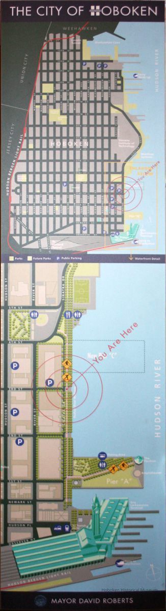
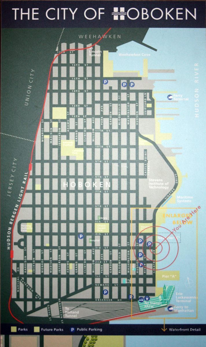
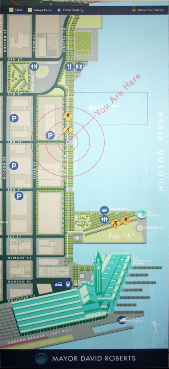
The City of Hoboken. Map and waterfront detail map. From Third St. and Frank Sinatra Drive wayfinding street kiosk. Installed circa 2002; removed March 2012. Printed media on 1/2 thick polycarbonate, 14-1/4" wide x 55" high.
This map is waterfront signage placed in one of five metal information kiosks that were installed on the south side of FSD between the bike/running lanes and the promenade as part of the riverfront walkway. They were located at Newark, 1st, 2nd, 3rd and 4th Sts. The map has Mayor Roberts name at the bottom of the panel; he served from 2001-2009. Pier C Park was in the development stage when this panel was created and thus its future location is shown only as box rather than the distinctive shape that was designed and built.
Panels in all five were replaced in 2012 with new maps and historical information panels created by the Hoboken Historical Museum that featured Guide-by-Cell options.
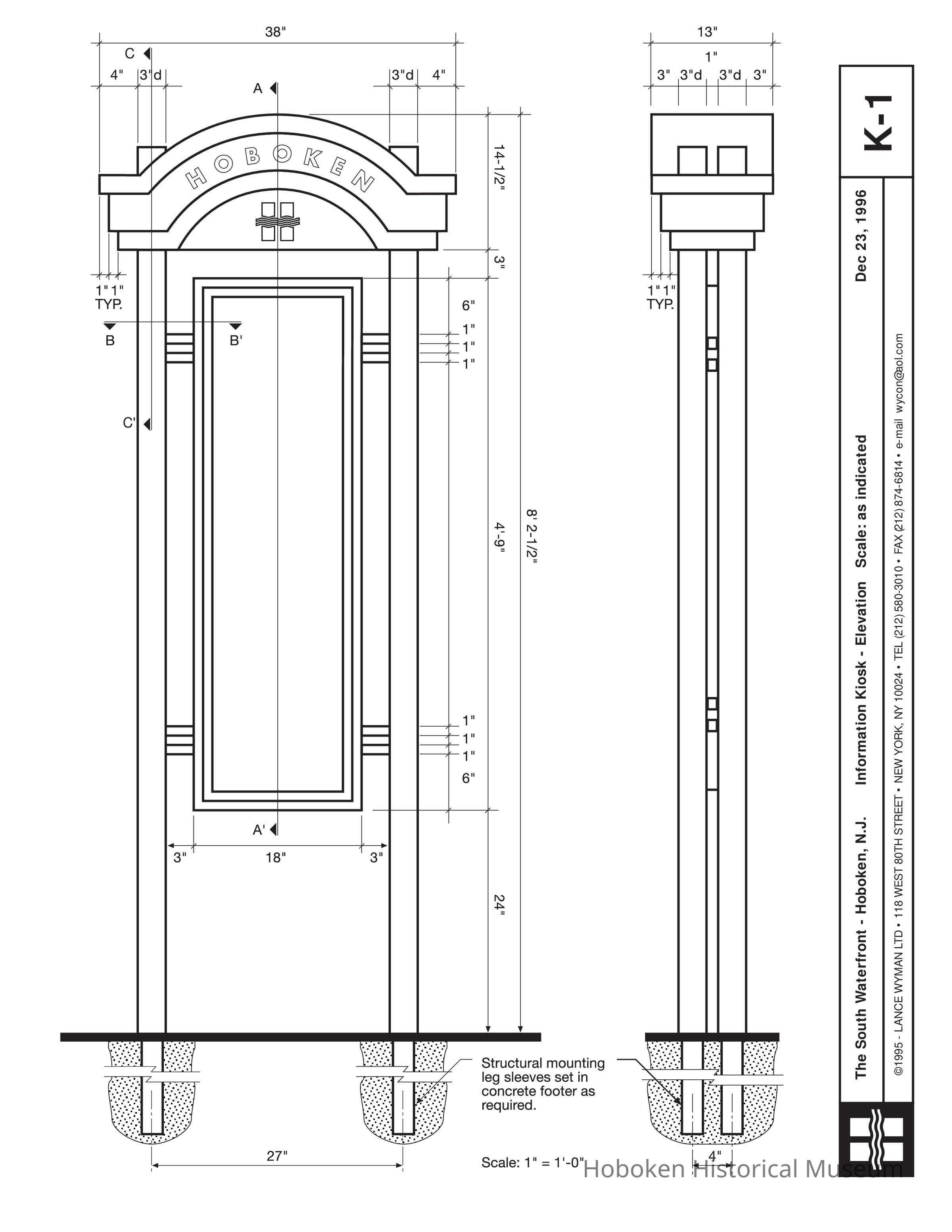
Attached is PDF of the original designs and specifications from 1996 as produced by Lance Wyman LTD, Architects, New York, N.Y.
2012.015.0001
2012.015
City of Hoboken
Gift
Courtesy of the City of Hoboken.
2002 - 2012
Date: 2002-2012
Status: OK Status By: dw Status Date: 2012-03-21