Collections Item Detail
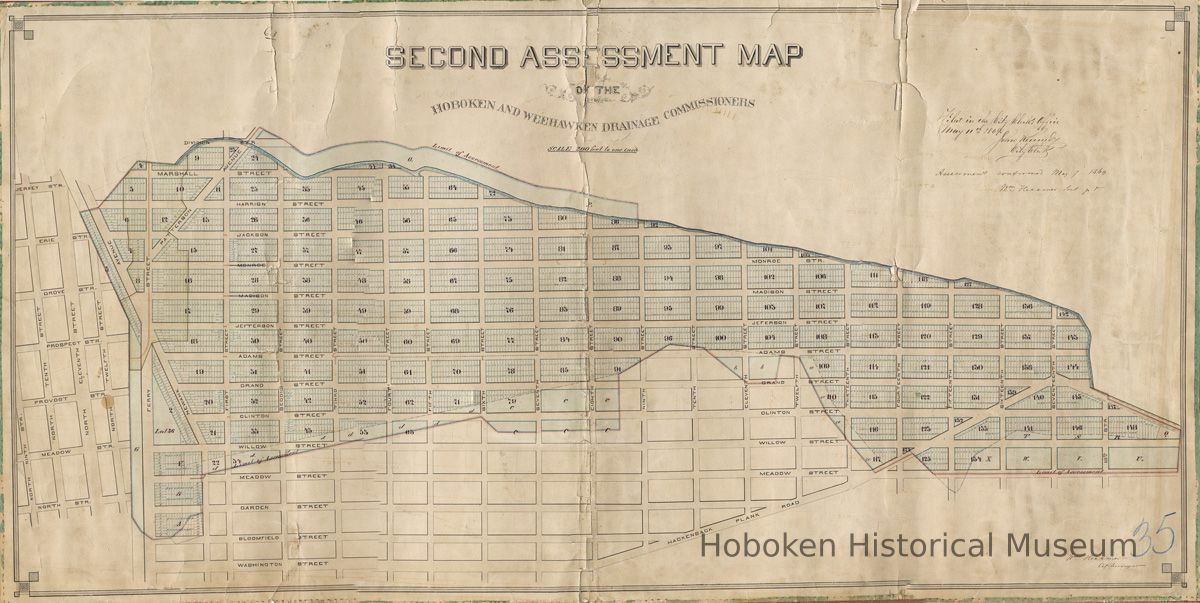
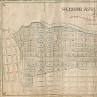
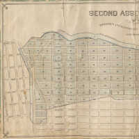
Second Assessment Map of the Hoboken and Weehawken Drainage Commissioners, 1869.
Map
Second Assessment Map of the Hoboken and Weehawken Drainage Commissioners, Hoboken, 1869. Linen-backed paper, 26-1/2" high x 52-1/2" wide. Scale: 200 feet to one inch. Made by William Hexamer, City Surveyor.
Filed in the City Clerk's Office, May 11, 1869. John Kennedy, City Clerk.
PDF on file - half size at 600dpi. High resolution scans on file. Media archive. Condition of original is poor.
Area covered by this map is essentially the west half of Hoboken:
-Ferry Street from Bloomfield to Marshall Street, including Newark Avenue
-Generally blocks from Willow Street (now Willow Avenue) to Marshall, and Ferry St to Eighteenth St. (Note: Meadow is now Park Avenue.)
Numbers seen on map appear to be assement block numbers with lot numbers which are not street numbers.
It does include some streets in Jersey City (at the left); none in Weehawken. No railroad right-of-ways are indicated at the Hoboken - Jersey City border.
2002.243.0024
2002.243
Staff
Field Collection
Museum Collection.
1869 - 1869
Date(s) Created: 1869 Date(s): 1869 Level of Description: Item
Poor
Display Value: Fair Notes: Scanned 2009 at 50 percent, 600 dpi. Twelve overlapping sectional scans are on file. Composite image from these scans has some poor line-up. Future software may allow for greater precision in assembling a composite image. PDF on file. Status: OK Status By: dw Status Date: 2009-06-30
