Collections Item Detail
Map: Motor Routes to George Washington Bridge, Holland Tunnel ... Port of N.Y. Authority. N.d., ca. 1931-1932.
Archive
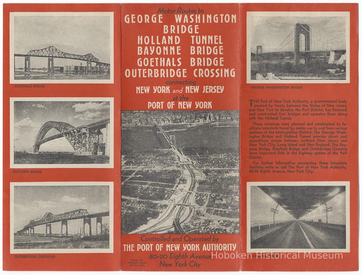
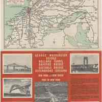
Map: Motor Routes to George Washington Bridge, Holland Tunnel, Bayonne Bridge, Goethals Bridge, Outerbridge Crossing connecting New York and New Jersey at the Port of New York. Controlled and Operated by The Port of New York Authority, 80-90 Eighth Avenue, New York City. No date, circa 1931-early 1932. Printed sheet, 12" x 18" high, folded to 4" wide x 9" high.
While not dated, several things help to establish the date range of the brochure: the Washington Bridge (G.W.B.) opened in 1931; the address of 80-90 Eighth Ave. would change to 111 Eighth Avenue by the fall of 1932.
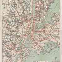
Note the Triborough Bridge (opened 1936; re-named 2008, Robert F. Kennedy Bridge) is on the interior map as under construction; the Lincoln Tunnel is not mentioned (groundbreaking did not happen until 1934.)
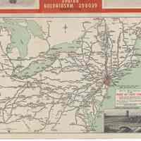
The outside of the brochure is printed in red with photos of the various crossings; Fairchild Aerial Survey Photo of the G.W.B. First full width opening is to "Map of the Main Routes to The Port of New York" which is a road map of the northeast U.S. It has a shaded box over New York area "For detail of this area see reverse side."
The full opening, side 2, is a 12" x 18" map which is the detail map referred to on side 1. It is titled "Main Highway Routes in the Vicinity of The Port of New York." Hoboken is marked. Includes inset detail maps of the G.W.B. and Holland Tunnel approaches.
2012.007.0068
2012.007
Lukacs, Claire
Gift
Museum Collections. Gift of a Friend of the Museum.
1931 - 1932
Date(s) Created: 1931-1932 Date(s): 1931-1932
Status: OK Status By: dw Status Date: 2012-03-25
