Collections Item Detail
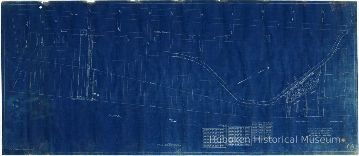
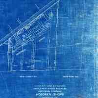
Map: United New Jersey Railroad & Canal Co.; Hoboken Shops; Operated by the Pennsylvania R.R., Lessee. Created 1918; last revised Dec. 31, 1955.
Archive
Map: United New Jersey Railroad and Canal Company; Hoboken Shops; Operated by the Pennsylvania Railroad, Lessee. Created 1918; last revision Dec. 31, 1955.
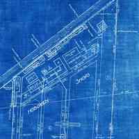
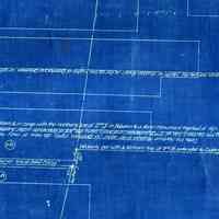
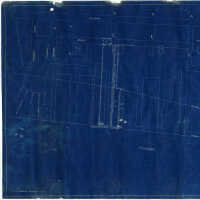
Blueprint of map showing the Hoboken waterfront from Eleventh street south to Lackawanna Terminal. It features the site plan of Hoboken Shops of the P.R.R. Marine Department in some detail at the Hudson River and River Road approximately between Ninth and Tenth Streets. A repair and storage facility that was used by the railroad for berthing and maintenance of tugboats in its marine fleet. They were used for moving carfloats in New York Harbor. The property plan has dimensions plus named buildings and structures.
Sheet size: 24-1/4" high x 54" wide. Print made 1956 or later. PDF on file. See notes for other details.
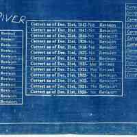
Map originated June 30, 1918. Apparently traced from a survey map or plat book of the era, but source is not stated. Title at lower left corner: City of Hoboken, Hudson Co. [County], N.J. Three tables record annual review dates for the sheet, from 1919 to Dec. 31, 1955. The map was only occasionally revised.
Other Hoboken information is some survey data at the piers near Second Street.
Note the two tracks on River Road for the Hoboken Shore Railroad (known earlier as Hoboken Manufacturers Railroad among other names.)
2012.030.0001
2012.030
Calabrese, Frank D.
Gift
Gift of Dominic Calabrese.
1918 - 1956
Date(s) Created: 1918-1956 Date(s): 1918-1956
Fair
Notes: 2012.030.0001 NEW JERSEY DIV NEW YORK DIV STATION MAP - LANDS & STRUCTURES UNITED NEW JERSEY RAILROAD AND CANAL COMPANY HOBOKEN SHOPS OPERATED BY THE PENNSYLVANIA RAILROAD, LESSEE Scale: 1" = 100' June 30, 1918. OFFICE OF VALUATION ENGINEER, PHILADELPHIA, PA. [sheet] V1.03 1 ===== Full sheet assembled scans at 50%; details 100 percent or larger. Status: OK Status By: dw Status Date: 2012-06-20
