Collections Item Detail
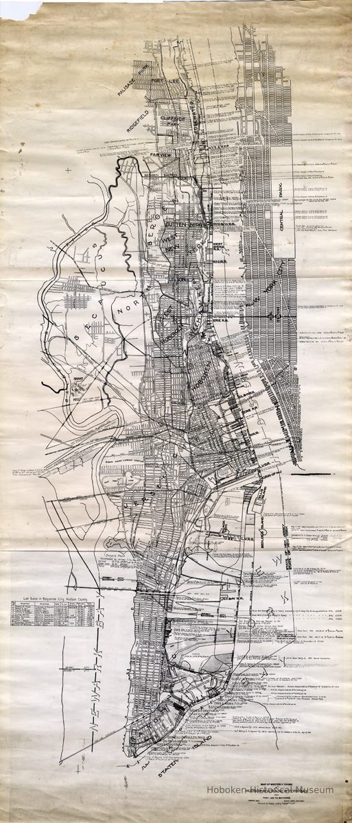
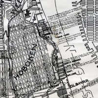
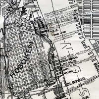
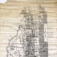
Map of Westerly Shore of Hudson River & New York Bay from Fort Lee to Bayonne. August 1922. Record of Sales along Waterfront. (includes sales 1912 to June 1945.)
Archive
Map of Westerly Shore of Hudson River and New York Bay from Fort Lee to Bayonne. August 1922. Record of Sales along Waterfront.
While dated 1922, it presents selectively recorded real estate transactions from 1912 up to June 1945. Composed of three black-and-white photostatic prints joined to make a single rolled sheet, ca. 22" x 51" high. Except for some penciled dollar values and one ink cross-out, all information was handwritten on the original source document. Original source not indicated or known nor date of duplication. This map is from the former Hoboken residence of Dominic Calabrese.
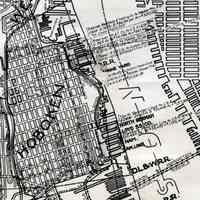
PDF on file of full sheet plus Hoboken details. Large tiffs media archive. Original scale: 1" = 1000'
The map appears to be traced from a standard regional map available in 1922 delineating cities, towns with streets and blocks (some labeled), roads, the river and major features. It is focused on New Jersey with the only labeled items on the Manhattan portion of the map being Central Park, Pennsylvania Station and the Hudson & Manhattan Railroad. It would appear significant detail was added for New Jersey about the industrial and transportation network of the area including government facilities, railroads, and docks. Virtually all of the circa 100 transactions are for industrial and commercial properties, with a few between a government or public agency (e.g. City of Bayonne to Port of New York Authority.)
Transactions are usually recorded in two or three handwritten lines with the names of the two parties, number of acres, price per acre and total cost followed by date of sale or agreement. Arrows and lines are drawn to indicate the property area which are often outlined or shaded.
While some entries from the 1940s are seen, elements on the map do not reflect the Hudson River of that era. It lacks the Bayonne Bridge, George Washington Bridge, Holland Tunnel, Lincoln Tunnel, access roads and other highway improvements in the date range of entries.
A table at the left is titled: Lot Sales in Bayonne City, Hudson County. There are ten numbered listings that are keyed to spots on the map in Bayonne. No other such table is present for any other city. All transactions in this table are in the 1920s.
2012.030.0002
2012.030
Calabrese, Frank D.
Gift
Gift of Dominic Calabrese.
1912 - 1945
Date(s) Created: 1922-1945 Date(s): 1912-1945
Status: OK Status By: dw Status Date: 2012-06-20
