Collections Item Detail
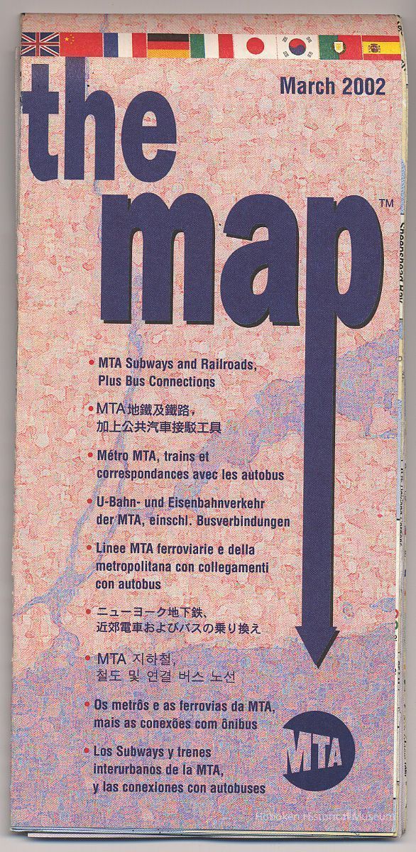
The Map. MTA Subways and Railroads, Plus Bus Connections. March 2002.
Archive
The Map. MTA Subways and Railroads, Plus Bus Connections. March 2002. Published by the Metropolitan Transportation Authority (New York.) Printed paper, 23" high x 32-1/2" wide folded to 3-3/4" wide x 7-1/4" high. Reference text, Getting Around New York by Public Transportation, is in nine languages,
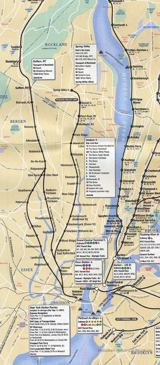
Hoboken Terminal appears on the MTA Railroad map as several suburban commuter lines operated by the MTA run out of Hoboken; it does not show New Jersey Transit routes. Map has a MTA Bridges and Tunnel inset map.
This map would be among the earliest official map to note the service changes to the September 11, 2001 attack on the World Trade Center. Three subway stations at or near the World Trade Center are noted as "Temporarily closed after Sep 11, 2001."
Ferries are also listed with mention of service changes due to September 11. Also since PATH service was not operating to World Trade, it is not indicated as running under the Hudson River as the uptown tubes are shown.
2012.002.0018
2012.002
Staff / Collected by
Collected by Staff
Museum Collections.
2002 - 2002
Date(s) Created: 2002 Date(s): 2002
Status: OK Status By: dw Status Date: 2012-09-26