Collections Item Detail
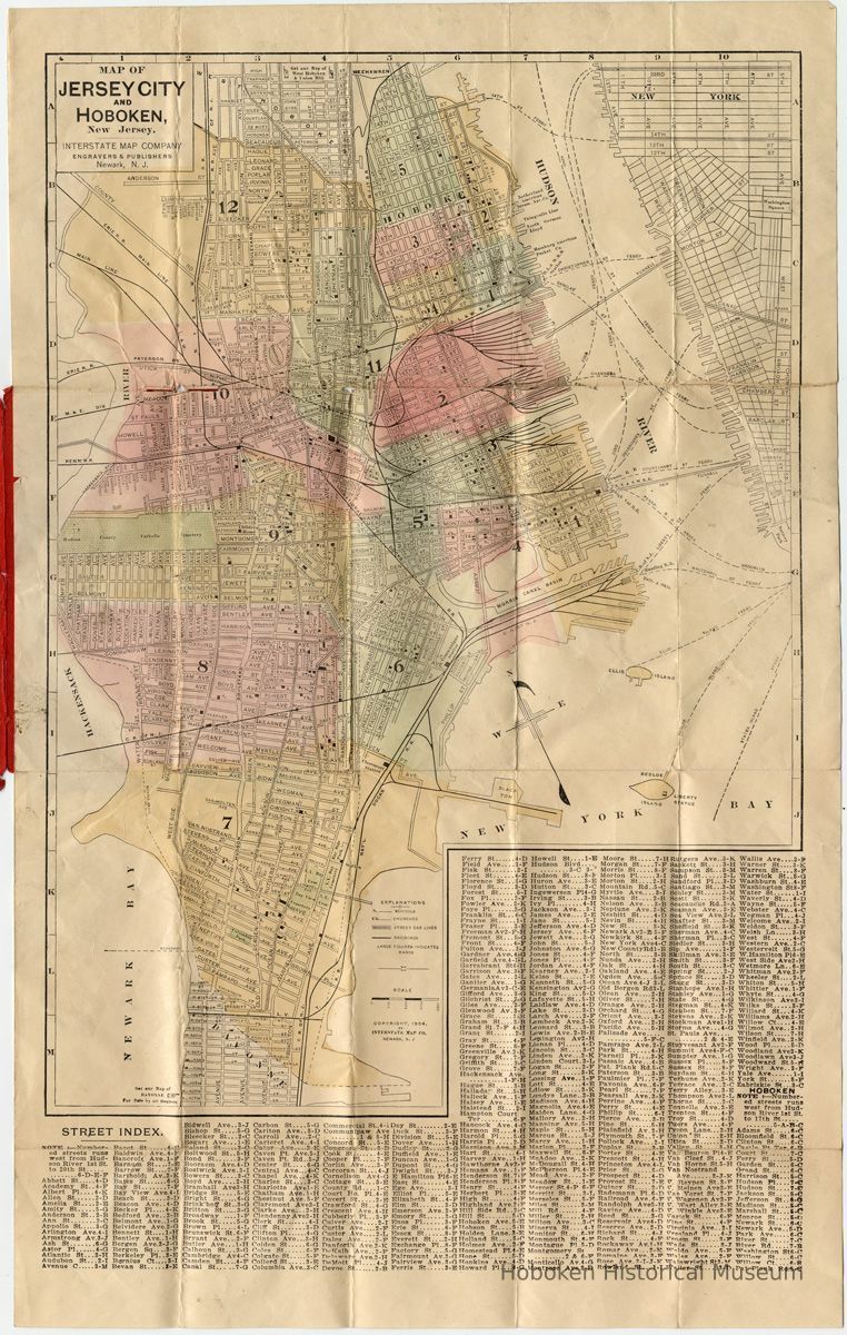
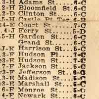
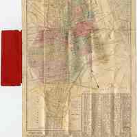
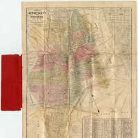
Map of Jersey City & Hoboken, N.J. Interstate Map Co. Indexed Map. Copyright 1904.
Archive
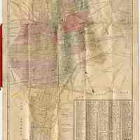
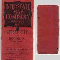
Map of Jersey City and Hoboken, New Jersey. Interstate Map Company Indexed Map. Copyright 1904. Fold-out map printed in color, 12-3/8" wide x 19-7/8" high in red folder printed in black, 2-/5/8" wide x 6-1/8" high. PDF on file. Large tiff on file.
This is an early map by this publisher. By the 1910s, their maps were titled "The Red Book... " due to the red covers used on them like the one here.
Cover text:
Price 10 Cents
Interstate Map Company Indexed Map.
Jersey City and Hoboken, New Jersey.
For sale by stationers and newsdealers.
Interstate Map Co.
Engravers & Publishers
315 Market St., Newark N.J.
---
Wehman Brothers
New York Agents 126 Park Row
----
Wards are indicated by color and number; schools and churches are indicated. Selected places are named such as hospitals, parks, cemeteries and schools of higher education.
Transportation and commerce markings includes street car lines, steamship piers, railroads & railroad terminals or stations, ferry routes.
Notable is that two Hudson & Manhattan Railroad tunnels under the Hudson are shown (Hoboken and Jersey City - Erie), but only labeled as "Tunnell". The H&M did not open until 1908 and there were actually four tunnels or tubes.
---
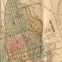
Hoboken piers are identified for:
North German Lloyd Line
Hamburg-America Line; Hamburg-American Line as Hamburg American Packet Co.
Thingvalla Steamship Company as Thingvalla Line
Holland America Line as Netherland American Steamship Navigation Co.
---
One Hoboken street not on map or in street index is Division Street.
2012.001.0192
2012.001
Purchase
Purchase
Museum Collections.
1904 - 1904
Date(s) Created: 1904 Date(s): 1904
Status: OK Status By: dw Status Date: 2012-11-20
