Collections Item Detail
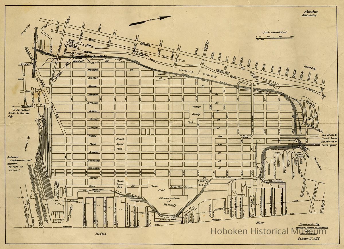
Map of Hoboken prepared for the Hoboken Chamber of Commerce, Oct. 15, 1930. Issued circa 1937 or later.Basil Stevens copy.
Archive
Map of Hoboken prepared for the Hoboken Chamber of Commerce, October 15, 1930. Issued circa 1937 or later. Basil Stevens copy.
Printed paper 15" high x 21" wide. PDF on file.
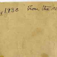
Back has holographic ink note: Hoboken, N.Jersey, 1930. From the collection of Basil M. Stevens. (Stevens was a principal in the Hoboken Land & Improvement Co. in this era and until it closed in the mid-1940s.)
The original format and issue of the map has not been determined. Scale is stated as 1 inch = 400 feet. The map is useful as a guide to the use of the Hudson River piers and docks as of the 1930 date (which was a few days after the end of the Hoboken Tercentenary Celebration, Oct. 4-12, 1930.)
It does indicate directions to both the Holland and Lincoln Tunnels. The Lincoln Tunnel did not open until late 1937, thus it was updated at some time in 1937 or later. The legend for the Lincoln carries the note "Six Minutes to Times Square." The Port Authority literature actually stated "Ten Minutes".
This map was used in a publication as late as 1969 with other annotations, archives 2006.057.0004.01
D.L.& W. Ferry
United States Shipping Board
U.S. Lines
Munson Steamship Co.
American Diamond Line
American France Line
Holland-American[sic America] Line
Scandinavian American Line
Ellerman-Wilson Line
Norton Lilly & Co.
Pennsylvannia Railroad Co. Marine Shops.
D.L.& W. Railroad
United Dry Docks Co.
Lamport & Holt Line
Hoboken Land & Improvement Co.
Tietjen & Lang
Hoboken Manufacturers Railroad
2014.018.0047
2014.018
Shachat, Donald M.
Gift
Gift of Donald M Shachat.
1930 - 1937
Date(s) Created: 1930, 1937 Date(s): 1930-1937
Good
Notes: Lower right: Prepared for the Hoboken Chamber of Commerce by John T. Soltmann, October 15, 1930.Prepared for the Hoboken Chamber of Commerce by John T. Soltmann, October 15, 1930. Status: OK Status By: dw Status Date: 2014-04-20
