Collections Item Detail
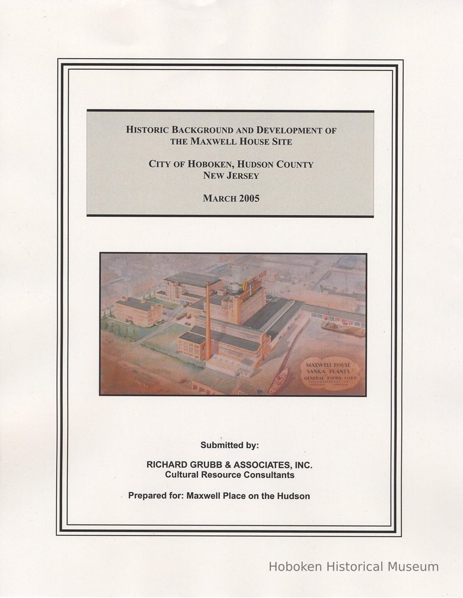
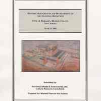
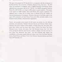
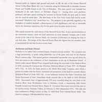
Historic Background and Development of the Maxwell House Site. City of Hoboken, Hudson County, New Jersey. By Philip A. Hayden, March 30, 2005.
2006.043.0004
2006.043
PT Maxwell House LLC
Gift
Gift of PT Maxwell House LLC.
2005 - 2005
Date(s) Created: 2005 Date(s): 2005-2005 Level of Description: Item
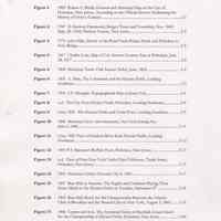
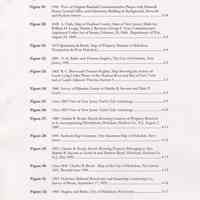
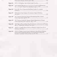
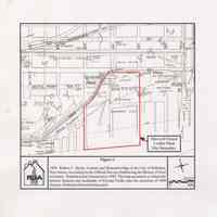
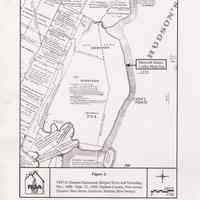
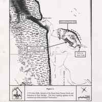
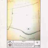
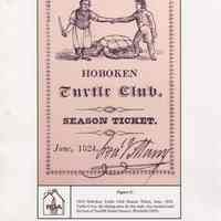
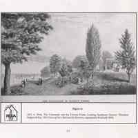
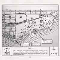
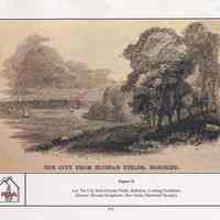
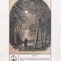
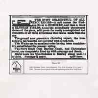
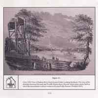
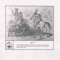
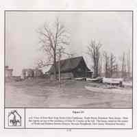
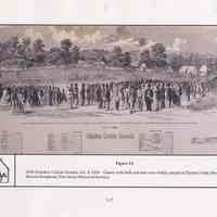
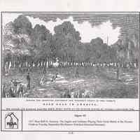
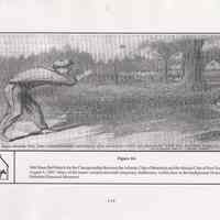
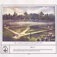
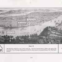
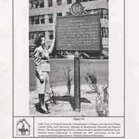
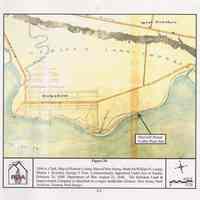
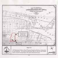
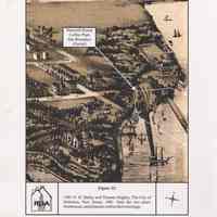
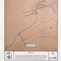
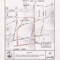
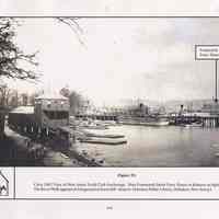
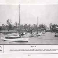
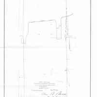
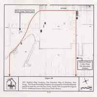
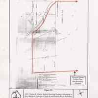
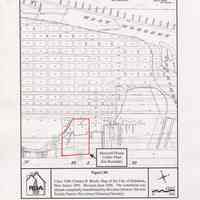
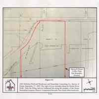
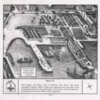
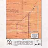
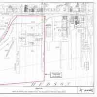
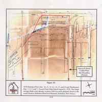
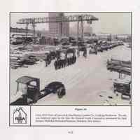
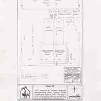
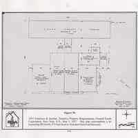
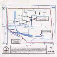
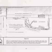
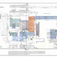
Display Value: Fair Notes: LIST OF FIGURES with page number at end Figure 1: 1909 Robert C. Brelle, General and Historical Map of the City of Hoboken, New Jersey, According to the Official Surveys Embracing the History of Over a Century 2-2 Figure 2: 1947 D. Stanton Hammond, Bergen Town and Township, Nov. 1660- Sept. 22, 1668, Hudson County, New Jersey 2-3 Figure 3: 1770 John Hills, Sketch of the Road From Paulus Hook and Hoboken to New Bridge 2-5 Figure 4: 1817 Charles Loss, Map of Col. Stevens Country Seat at Hoboken, June 28, 1817 3-2 Figure 5: 1824 Hoboken Turtle Club Season Ticket, June, 1824 3-4 Figure 6: 1831 A. Dick, The Colonnade and the Elysian Fields, Looking Southeast 3-5 Figure 7: 1841 LF. Douglas, Topographical Map of Jersey City 3-6 Figure 8: n.d. The City from Elysian Fields, Hoboken, Looking Southeast 3-8 Figure 9: Circa 1835 The Elysian Fields and Castle Point, Looking Southeast 3-9 Figure 10: 1846 Hoboken Ferry Advertisement, New York Evening Post, June 2, 1846 3-11 Figure 11: Circa 1850 View of Hudson River from Elysian Fields, Looking Northeast 3-12 Figure 12: 1843 P.T. Barnum's Buffalo Hunt, Hoboken, New Jersey 3-13 Figure 13: n.d. View of First New York Yacht Club Clubhouse, Tenth Street, Hoboken, New Jersey 3-15 Figure 14: 1856 Hoboken Cricket Ground, Oct 4, 1856 3-17 Figure 15: 1857 Base Ball in America: The Eagles and Gothams Playing Their Great Match at the Elysian Fields on Tuesday, September 8th 3-18 Figure 16: 1865 Base Ball Match for the Championship Between the Atlantic Club of Brooklyn and the Mutual Club of New York, August 3, 1865 3-19 Figure 17: 1866 Currier and Ives, The American Game of Baseball, Grand Match for the Championship at Elysian Fields, Hoboken, New Jersey 3-20 Figure 18: 1866 Bachman, Birds Eye View of New York City 3-23 Figure 19: 1946 View of Original Baseball Commemorative Plaque with Maxwell House Central Office and Laboratory Building in Background, Eleventh and Hudson Streets 3-24 Figure 20: 1848 A. Clark, Map of Hudson County, State of New Jersey, Made for William H. Leupp, Martin J. Ryerson, George F. Fort, Commissioners Appointed Under Act of Senate, February 24, 1848. Department of War, August 22, 1848 4-2 Figure 21: 1876 Spielmann & Brush, Map of Property Situated at Hoboken, Weehawken & West Hoboken 4-4 Figure 22: 1881 0. H. Bailey and Thomas Hughes, The City of Hoboken, New Jersey, 1881 4-5 Figure 23: 1865 R. C. Bacot and Thomas Hughes, Map Showing the Survey of Lands Lying Under Water of the Hudson River and Bay of New York and of Lands Adjacent Thereto, Section 5 4-7 Figure 24: 1886 Survey of Riparian Grants to Martha B. Stevens and Mary P. Lewis 4-8 Figure 25: Circa 1885 View of New Jersey Yacht Club Anchorage 4-9 Figure 26: Circa 1890 View of New Jersey Yacht Club Anchorage 4-10 Figure 27: 1889 Charles B. Brush, Sketch Showing Location of Property Referred to in Accompanying Description, Hoboken, Hudson Co., N.J. August 2, 1889 4-11 Figure 28: 1891 Sanborn Map Company, Fire Insurance Map of Hoboken, New Jersey 4-12 Figure 29: 1895 Charles B. Brush, Sketch Showing Property Belonging to Mrs. Martha B. Stevens at Tenth St and Hudson River, Hoboken, Hudson Co. N.J., Dec 1895 4-13 Figure 30: Circa 1896 Charles B. Brush. Map of the City of Hoboken, New Jersey 1891, Revised circa 1896 4-15 Figure 31: 1895 Hoboken Railroad Warehouse and Steamship Connecting Co., Survey of Route, September 17, 1895 4-16 Figure 32: 1904 Hughes and Bailey, City of Hoboken, New Jersey 4-17 Figure 33: 1898 Charles B. Brush, Sketch of Shore Front Property Near Foot of Tenth Street, Hoboken, NJ November 1898 4-19 Figure 34: 1909 G. M. Hopkins, At/as of Hudson County, New Jerseyj 4-20 Figure 35: 1918 Hoboken Piers Nos. 10, 11,12, 13, 14, 15 and 16 and Warehouses Nos. 1, 2, 5, and 7, Traced From Map Dated August 6, 1918 4-21 Figure 36: Circa 1935 View of Lawson & MacMurray Lumber Co., Looking Northwest 4-22 Figure 37: 1938 Sanborn Map Company, Fire Insurance Maps of Hoboken, New Jersey 4-23 Figure 38: 1937 Francisco & Jacobus, Proposed Manufacturing Plant, General Foods Corporation, April 29, 1937 5-3 Figure 39: 1937 Francisco & Jacobus. Tentative Property Requirements, General Foods Corporation, New York, N.Y., May 1, 1937 5-4 Figure 40: 1939 Right of Way and Track Map, The Delaware, Lackawanna, and Western RR Co., Twelfth Street, Hoboken, New Jersey 5-6 Figure 41: 1956 P. A. Caulfield, Sketch of Survey of Property Located in the City of Hoboken, New Jersey 5-8 Figure 42: 1962 G. J. Hughes, General Foods Corporation, Maxwell House Division, Factory Mutual Engineering Division, Associated Factory Mutual Fire Insurance Companies, Norwood, Mass, June 20, 1962 5-9 Status: OK Status By: dw Status Date: 2004-07-06

![Appendix A pg [1] of 5](https://d3f1jyudfg58oi.cloudfront.net/11047/image/4fdddb80-fb18-11ed-a641-b3912f9925a9-uFiPsir.tn.jpg)
