Collections Item Detail
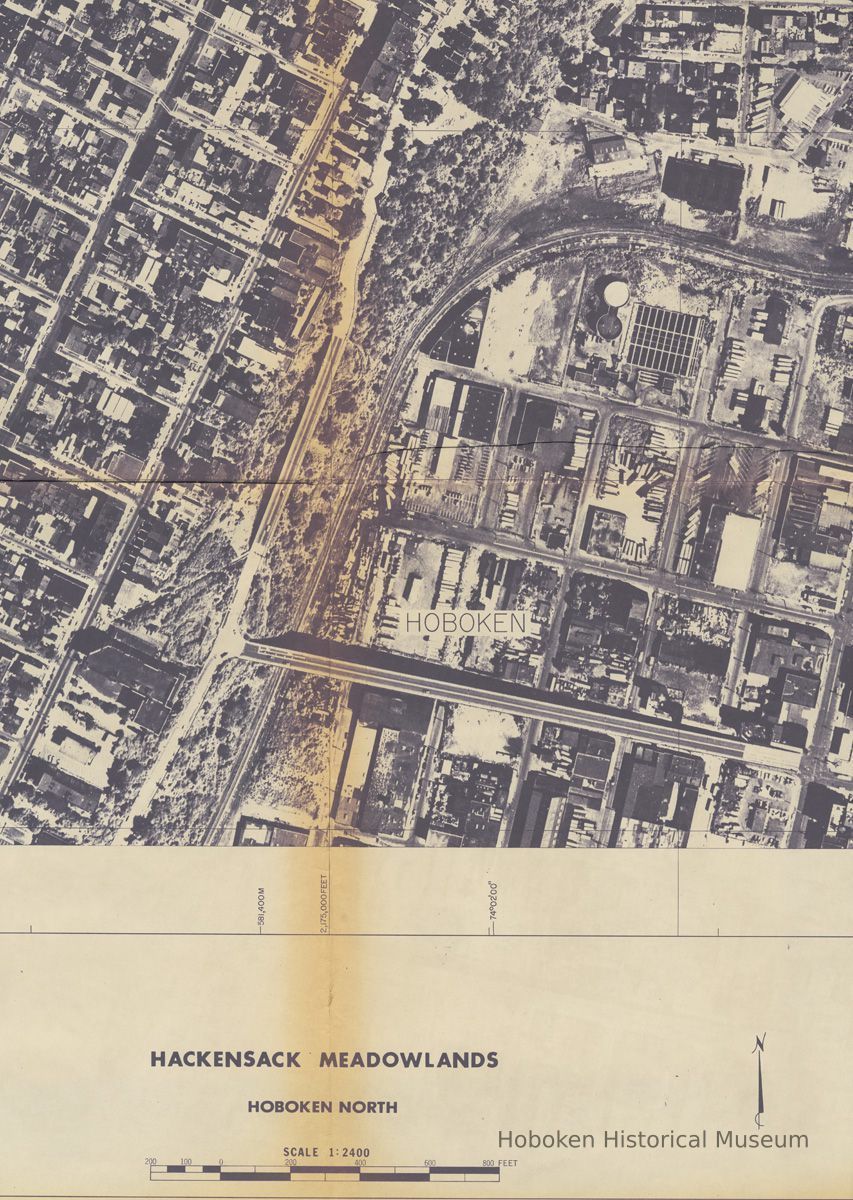
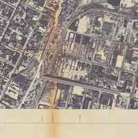
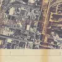
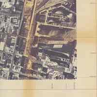
Digital image of B+W aerial photo details of North Hoboken from State of N.J., Dept. of Environmental Protection photomap 700-2172, [1972].
Photograph
Digital image of B+W aerial photo details of North Hoboken from State of N.J., Department of Environmental Protection photomap 700-2172, [1972]. Digital reference images only. Photographs taken Mark Hurd Aerial Surveys, Inc., August 20, 1972; color infrared images.
Photo map title: Hackensack Meadowlands; Hoboken North. Aerial view is looking down; map is oriented to North as seen in the border.
The original photo map was 36" x 48". ONLY the Hoboken portion seen is imaged here. Hoboken is seen from the middle of the 1300 block and north; from the River to Union City and Weekhawken.
2005.079.0509
2005.079
Maier, Bob
Donation
Gift of Bob Maier.
Mark Hurd Aerial Surveys, Inc.
1972 - 1973
Hoboken
Date: 1972-1973
Display Value: Fair Original or Copy: Digital Copy Status: OK Status By: dw Status Date: 2005-12-16
