Collections Item Detail
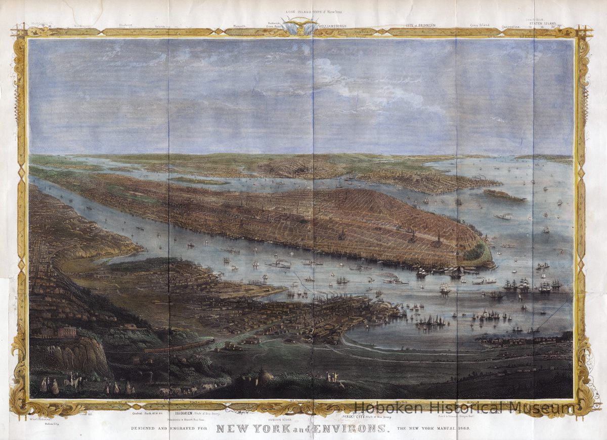
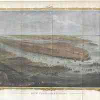
Map: New York and Environs. [Hoboken is seen.] Map by W.C. Rogers; from 1868 Shannon's Manual.
Archive
Map: New York and Environs. (A bird's-eye view of New York from the southwest which includes the western shore of the Hudson; Hoboken is seen at the lower left.) From the 1868 edition of Joseph Shannon's Manual of the Corporation of the City of New York. (Commonly known as "Shannon's Manual"; on the map it is called "The New York Manual 1868.") Map by W. C. Rogers & Co., Lithographers (not so marked on work; established by reference source; see notes.)
Printed sheet, ca. 12-5/8" high x ca. 16-3/4" wide (originally folded to 8-1/4" high x 4-1/4" wide; fold marks present); map image is circa 12" x 16"; hand colored. One paper repair to lower left where a margin was trimmed along with one tear and one broken fold mended with clear adhesive tape and which appear stable. Tidelines evident from the hand watercolors used.
2008.012.0011
2008.012
Lukacs, Claire
Gift
Museum Collections. Gift of a friend of the Museum.
Rogers, W.C.
1868 - 1868
Date(s) Created: 1868 Date(s): 1868-1868
Good
Notes: Reference: Phillips, Philip Lee. A List of Maps in the Library of Congress, page 537. The book that this map is from was similiar to the better known Valentine's Manual, but apparently a slightly larger format (note folded size.) Status: OK Status By: dw Status Date: 2008-03-03
