Collections Item Detail
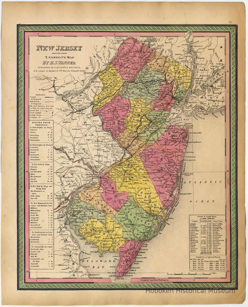
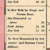
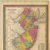
Map: New Jersey. Reduced From T. Gordon's (1834) Map By H.S. Tanner. Published by S. Augustus Mitchell, Philadelphia, 1846.
Archive
New Jersey. Reduced From T. Gordon's Map By H.S. Tanner. Published by S. Augustus Mitchell, N.E. Corner of Market & 7th Streets, Phila., 1846.
Being page (plate) 12 from: A New Universal Atlas Containing Maps of the Various Empires, Kingdoms, States and Republics of the World. With a special map of each of the United States, Plans of Cities &c. Philadelphia: S. Augustus Mitchell, 1847. Color map 12" x 15" on 13-3/4" x 17-1/16" high sheet. PDF on file.
Prepared for inclusion as map no. 12 in the 1847 issue of Mitchell’s New General Atlas. Dated 1846 and copyrighted, “Entered according to Act of Congress in the Year 1834 by T. Gordon in the Clerk’s Office of the District Court of New Jersey.”
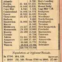
An 1846 revision of an 1834 map. It now included new counties and population statistics for 1840.
----
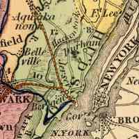
This map is among the earliest to have Hudson County on it. Hoboken does not appear on it (it became a township in 1849.)
---
Tanner, Henry S.
Mitchell, Samuel Augustus
Gordon, Thomas Francis
2012.001.0193
2012.001
Purchase
Purchase
Museum Collections.
1846 - 1847
Date(s) Created: 1846-1847 Date(s): 1846-1847
Status: 11/20/2012 Status By: dw Status Date: 2012-11-20
