Collections Item Detail
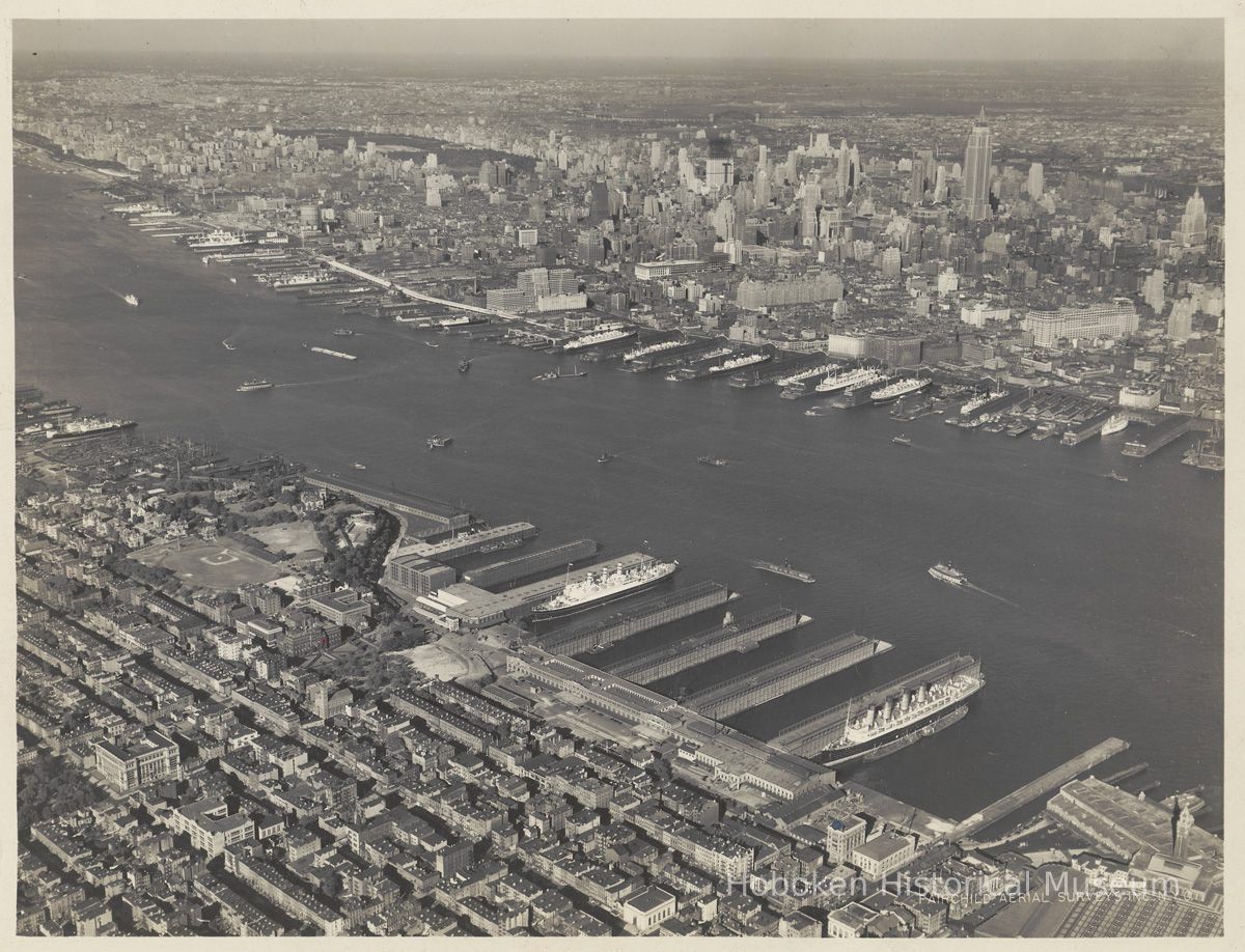
B+W aerial photo of eastern Hoboken looking northeast, Sept. 9, 1932
Photograph
Digital image of black-and-white aerial photo of eastern Hoboken looking northeast, September 9, 1932.
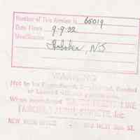
Digital copy only; original: 8" x 10" print. Ink-stamped on back with holographic entries for number, date and location: Photograph by Fairchild Aerial Surveys, 270 West 38th St., New York. Photo number: 65019. Source of original: S.C. Williams Library, Stevens Institute of Techology. Tiffs media archive.
View covers Hoboken waterfront from Lackawanna Terminal to the United Drydock Co. Fletcher Plant at the north (right). Farthest west point is at the lower left corner and includes Church Square Park and Demarest High School.
Other Hoboken points of interest include: Stevens institute of Technology campus; Hudson Square Park; partial view of the site where Maxwell House Coffee plant would be built in 1938.
Manhattan is in the view and New York City points of interest includes the newly constructed Empire State Building and 30 Rockefeller Center seen under construction.
2009.008.0006
2009.008
Stevens Institute of Technology
Gift
Courtesy of S.C. Williams Library, Stevens Institute of Technology.
Fairchild Aerial Surveys, Inc.
1932 - 1932
Hoboken
Date: 1932-1932
Original or Copy: Digital copy Status: OK Status By: dw Status Date: 2009-01-16


