Collections Item Detail
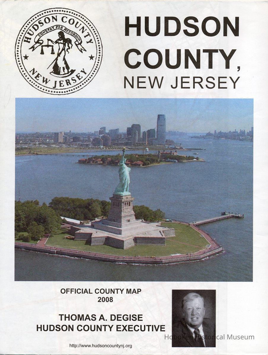
Hudson County, N.J. Official County Map 2008. Issued by Board of Chosen Freeholders (Hudson County).
Archive
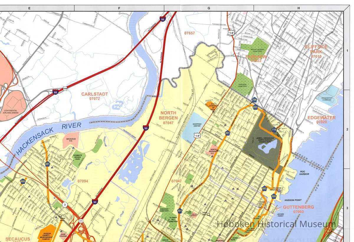
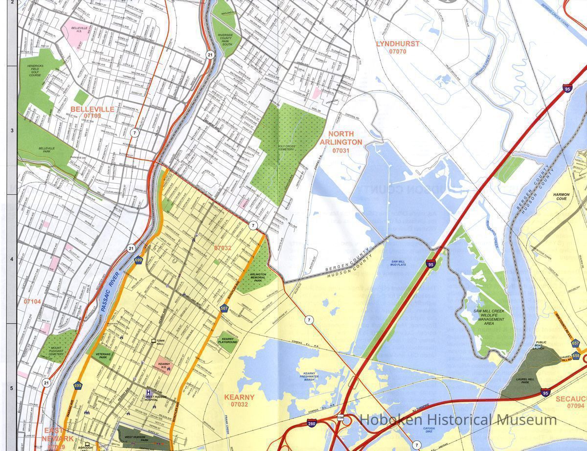
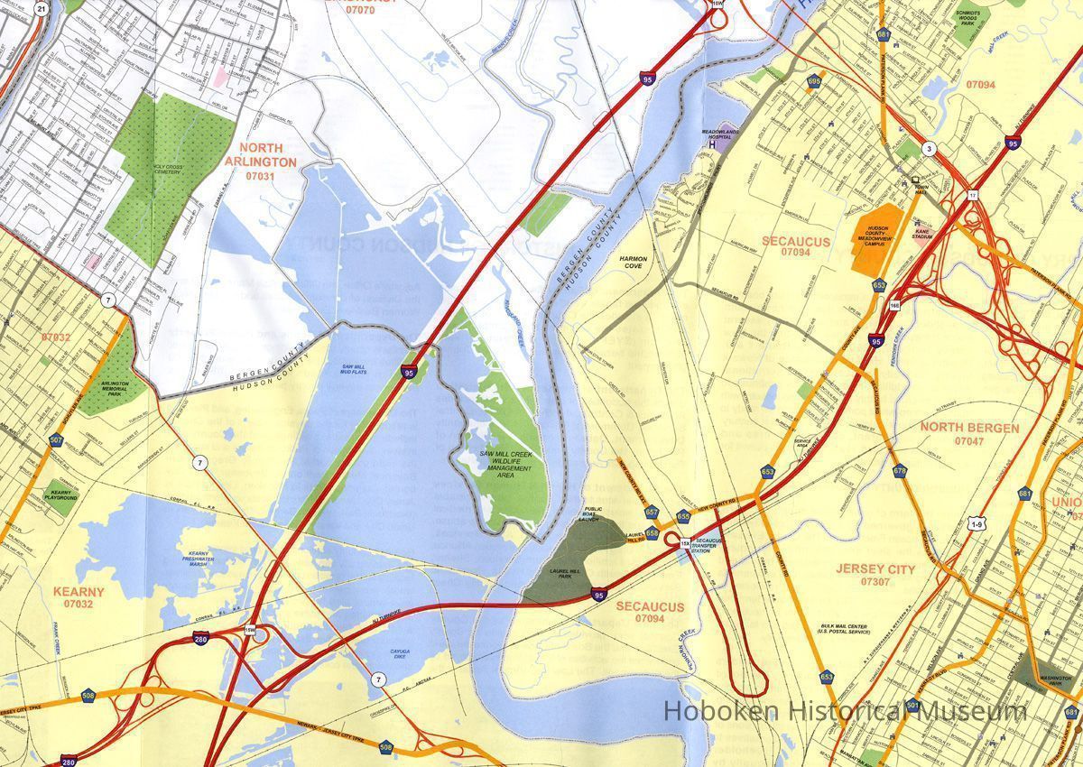
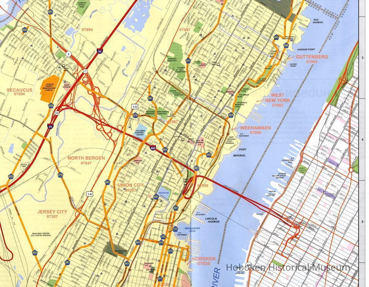
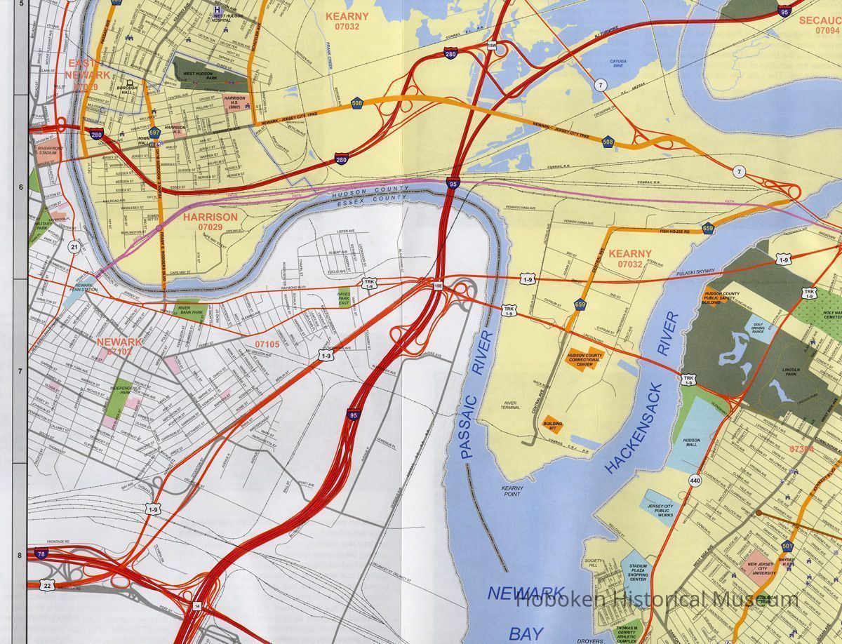
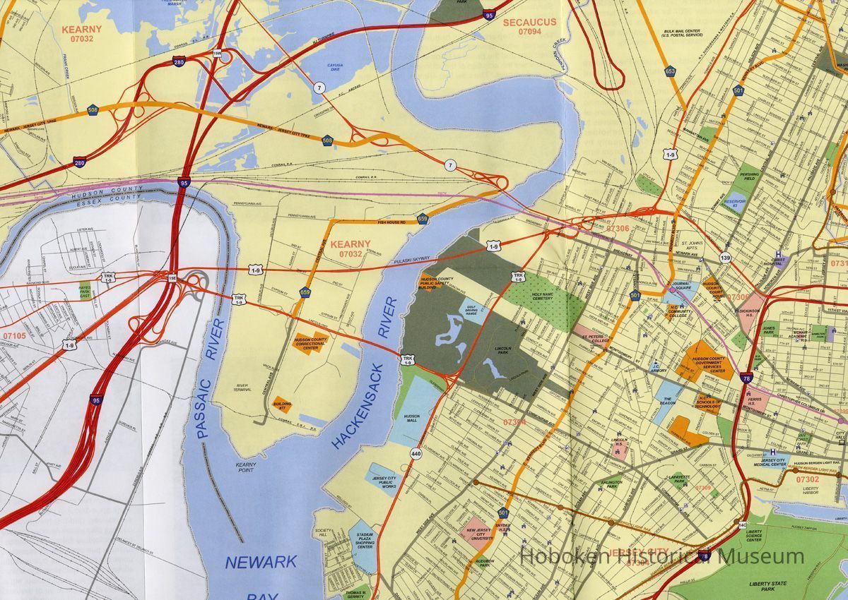
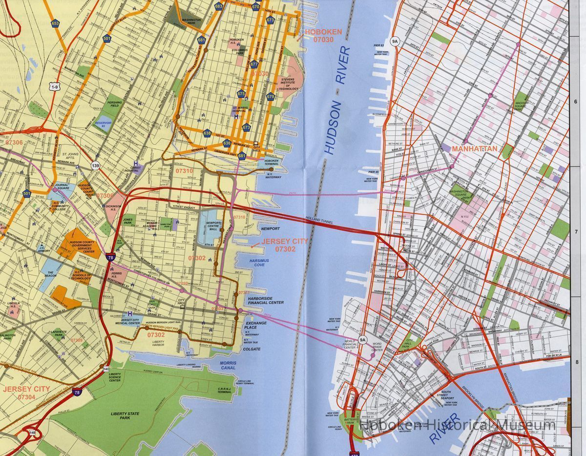
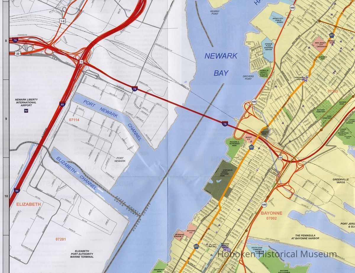
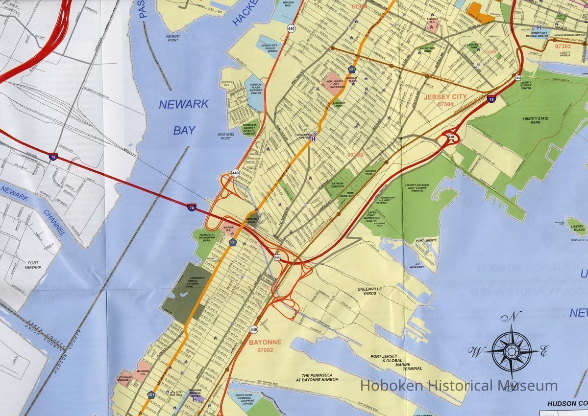
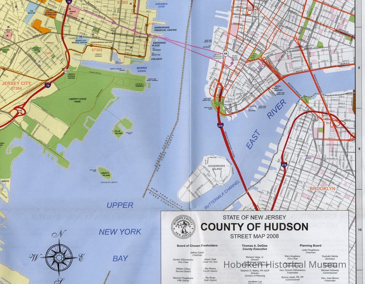
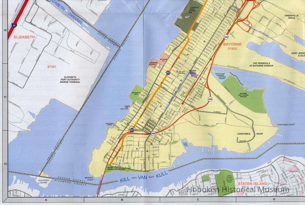
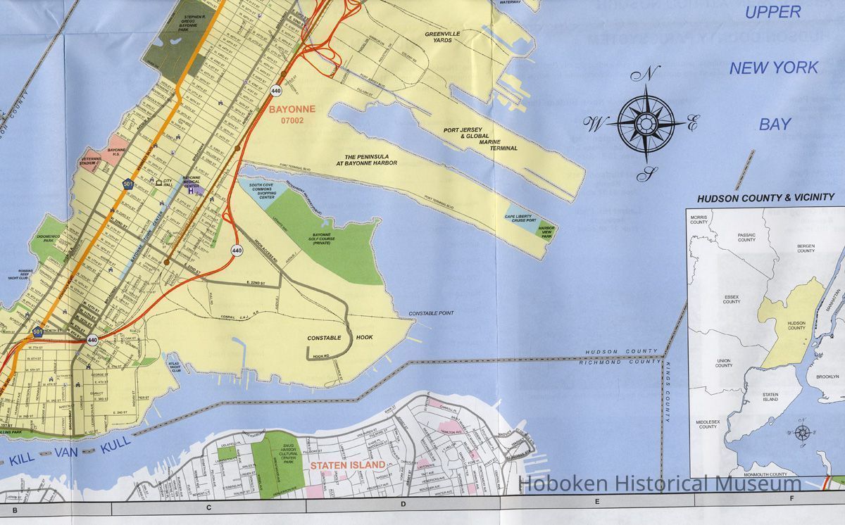
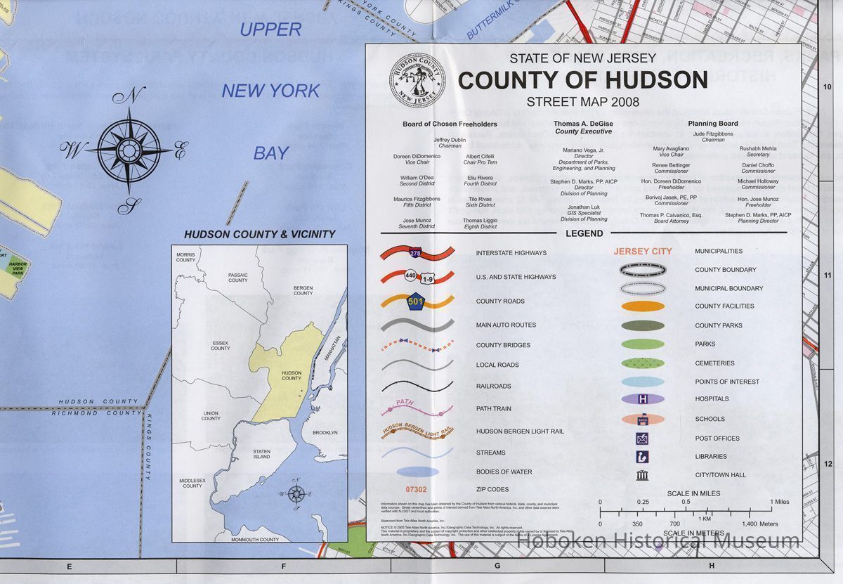
Hudson County, New Jersey. Official County Map 2008.
Issued by Board of Chosen Freeholders (Hudson County).
Prepared by the Hudson County Department of Parks, Engineering, and Planning. Division of Planning.
Compiled and edited by Jonathan Luks, GIS Specialist.
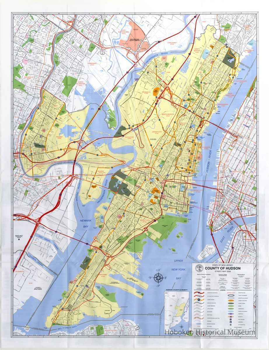
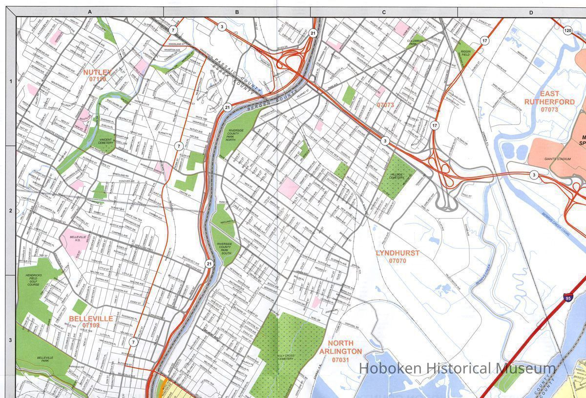
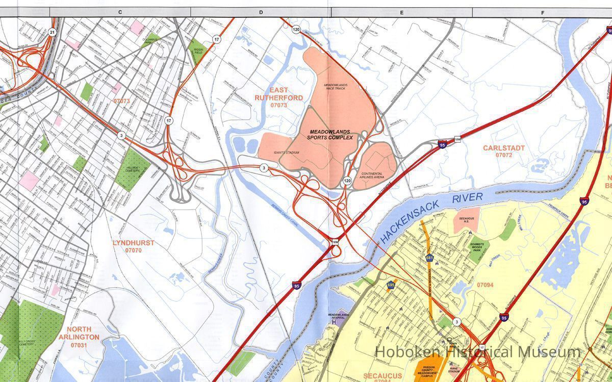
Printed paper, both sides, color, 35" wide x 44-1/2" high folded to 8-3/4" wide x 11-1/4" high. PDF on file of map side at 100 percent of original size; detail images of map side in 15 sections are on file with this record
Cover title as above.
Title block:
State of New Jersey
County of Hudson
Street Map 2008.
2012.050.0001
2012.050
Staff, Collected by
Collected by Staff
Museum Collections
2008 - 2008
Date(s) Created: 2005, 2007 Date(s): 2008
Status: OK Status By: dw Status Date: 2012-11-27