Collections Item Detail
Digital files of 2006 FEMA Flood Insurance Rate Maps (FIRM) for Hoboken; National Flood Insurance Program (NFIP). 1972-2013
Archive
Digital files of 2006 FEMA Flood Insurance Rate Maps (FIRM) for Hoboken; National Flood Insurance Program (NFIP). Initial NFIP Map Date: June 28, 1974; Initial FIRM Date Nov. 17, 1982; Most Recent FIRM Date Aug. 16, 2006.
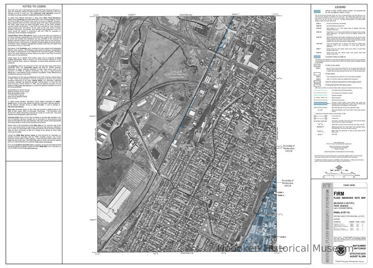
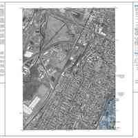
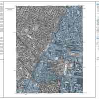
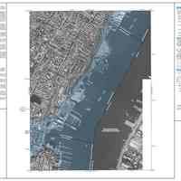
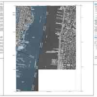
Four maps from Hudson County that covered Hoboken, but some areas of Jersey City and Weehawken are also shown.
Note: these maps are NOT the ones that document the flooding that happened during Hurricane (or Superstorm) Sandy.
Maps as purchased on compact disc by donor from FEMA (Federal Emergency Management Agency) MSC (Map Service Center, Flood Map Store), created March 12, 2013.
Map 1. 34017C0043D; Panel 43 (0043D) of 118.
Map 2. 34017C0106D; Panel 106 (0106D) of 118.
Map 3. 34017C0044D; Panel 44 (0044D) of 118.
Map 4. 34017C0107D; Panel 107 (0107D) of 118.
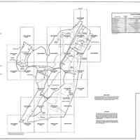
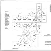
Map 5. FEMA 2006 map index 34017CIND0A
----
Maps extracted from compact disc and converted to TIFF and PDF formats. Original map size: 36" wide x 28-3/4" high, 400 dpi; smaller images on file at 50pct, 300 dpi.
All files: media archive. PDFs of the smaller PDF as well one of the original size files are present.
2013.036.0001
2013.036
Carey, John P.
Gift
Courtesy of John P. Carey.
1974 - 2013
Date(s) Created: 1972, 1984, 2006, 2013 Date(s): 1974-2013
Status: OK Status By: dw Status Date: 2013-06-12
